|
UT - Gemini Bridges - Mountain Bike Trail Review with Map and Pictures |
||||||||||||||||||||||||||||||||||||||||||||||||||||||||||||||||||||||||
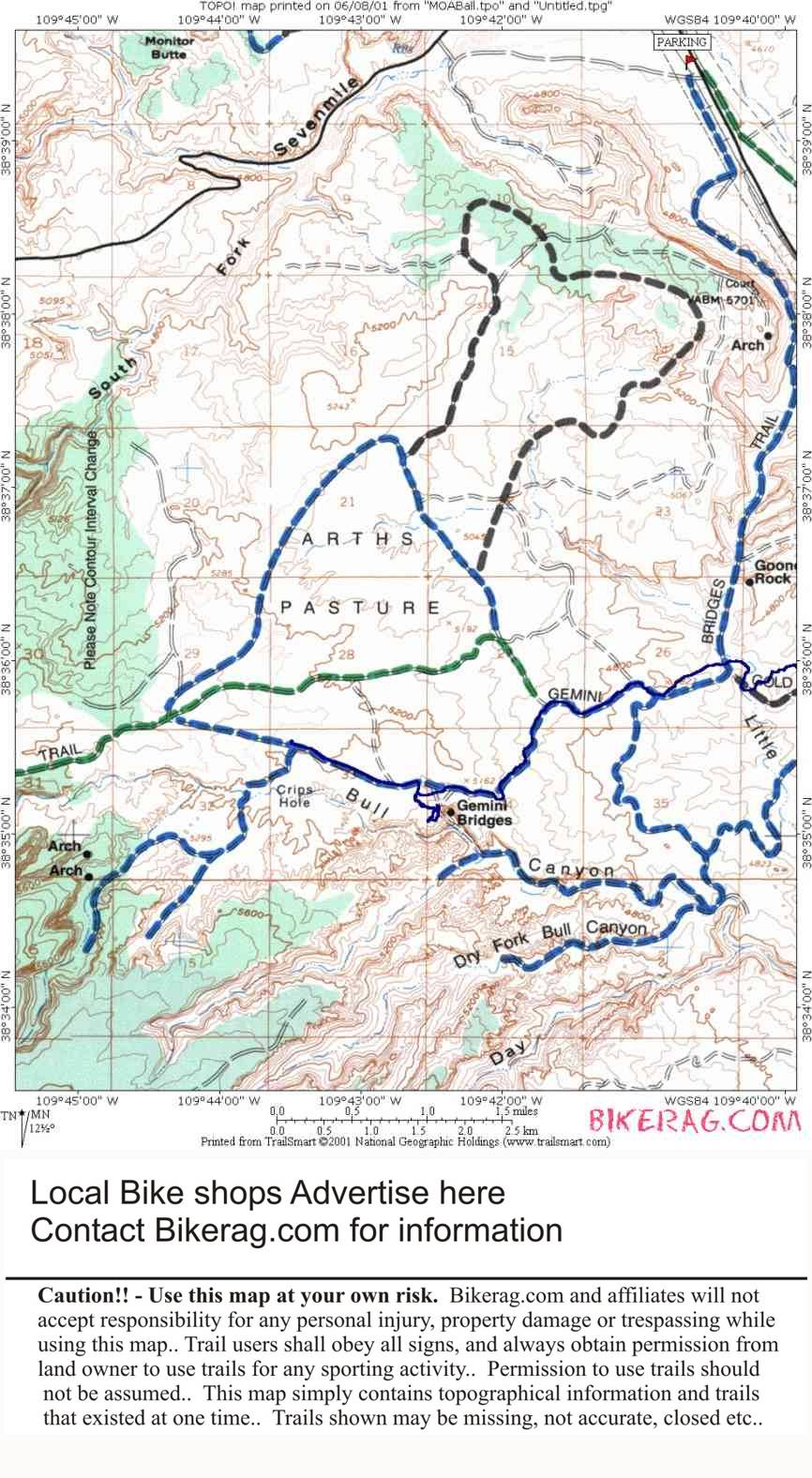
Directions - |
Description - Long ass downhill dirt road ride to start, then cool rocky section to gemini bridges overlook. You spend at least 1/2 hour here. Ride on the natural bridge but dont fall off. Huge hole in the ground surrounds 1000 foot drop or so.. Continue on the gemini trail, some rocks, one good downhill section brings you to the base of the canyon. From here you can take a right turn for goldbar or left to continue on gemini for flat, but scenic retreat to the parking area (unfortunately not the one you parked at).. Its a one way ride unless you like the pavement. Loops - Pre-ride Music: NIN
- Closer |
Total Miles: 14 |
Elevation Change Feet - Elevation
Profile |
|
| |||||||||||||||||||||||||||||||||||||||||||||||||||||||||||||||||||


