Rating Explanation (0-5) Category:  |
Overall Rating |
 |
| Single-Track |
Adventure |
Climbing |
Free-ride |
Fun |
Fear |
Trail
Enhancements |
Scenery |
Technicalities |
| 3 |
3 |
1 |
2.6 |
3.3 |
2 |
2.7 |
3 |
2.8 |
3.2 |
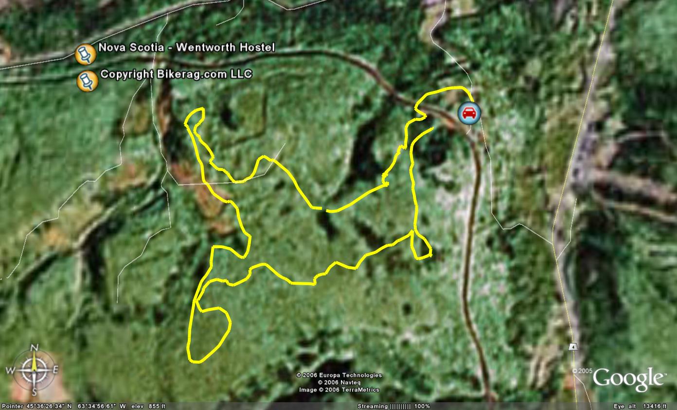
| Directions - From New Brunswick, take 104
south, exit to route 4 south, right on Valley road (if you pass a ski area
on your left while on rte 4, you've gone TOO far!!) , On valley road you
pass Wentworth provincial park on your right, then look for a dirt road left
that brings you to the youth hostel or Wentworth station Description - This
was more of a typical new england ride.. Some climbing, some
nice single track, some roots some rocks.. An OK view at the
look-off.. The link trail and big thrill was really fun, some
cool whoops.. We even found some stunts.. Good location if
your looking to get off the highway and stretch your legs..
|
| Pre-ride Music: |
| Total Miles: 12+ |
| Elevation Change Feet - |
|
|
| Disclaimer: Caution - Use this map at your
own risk. Bikerag.com and affiliates will not accept
responsibility for an personal injury, property damage or trespassing while
using this map. Trail users shall obey all signs, and always obtain
permission from the land owner to use trails for any sporting activity.
Permission to use trails should not be assumed. This map simply
contains topographical information and trails that existed at one time.
Trails shown maybe be missing, not accurate, closed, overgrown etc.... |
| To
view larger version of map, right click on map and select View Image. |
 |
Copyright by Bikerag.com, LLC. All rights reserved.
|


