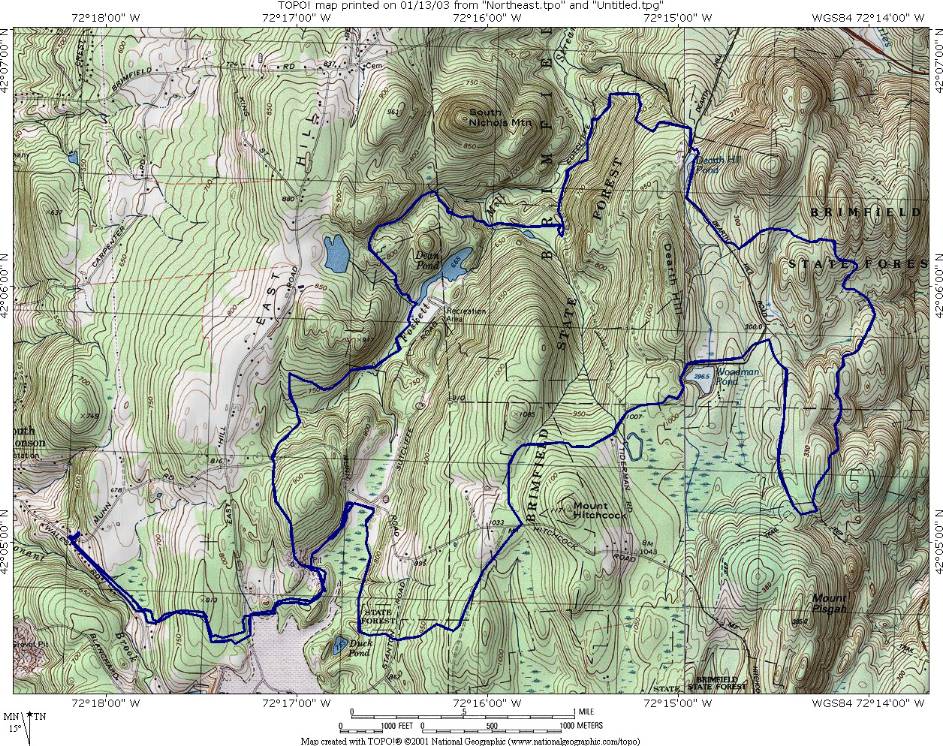
| Directions - rte 84 to 20 west about 10 miles
look for signs for brimfiled state forest (or Dean Pond Recreation Area)-
left turn. Description - A variety of trails here, but
they will barely keep your interest, unless you are smoking crack..
Some nice single track sections, some double track, some mushy single track,
lots of rocky roads, some fire roads.. Lots of climbs that are not
really rewarding.. I didn't ride all the trails here, so I may have by
chance missed all the good stuff, but that is HIGHLY unlikely.. Let me
know if there are any great trails hidden in this forest.. The map you
get from the ranger station is not very good and the trails were marked very
poorly if at all.. There is also a huge lack of trail maintenance -
which is no big deal, just wanted to note it.. If someone sticks a gun
to my head, I may ride here again and check out the other trails we missed..
Or If I feel like torturing shake and bike, this would be a good place...
One cool road had this green mold between the cobblestones, that and the
beaver dam was the highlight for me - front wheel didn't even leave the
ground once.. Good training area I guess, if you like mushy hills!! |


