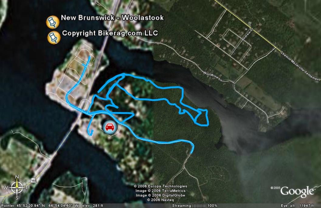
| Directions - Take trans canada highway from
fredericton west bound, take 102 north exit, go over bridge and woolastook
is next right.. Its that simple, of course the directions we had were
not so good since the Trans canada highway was relocated... Description - We
didn't find anything too exciting here.. There were trails, some were
good, nothing too technical.. One crazy short downhill section,
one cool off camber section that was technical, some really nice single
track by the water, some abandoned trails.. If you need to pedal for
an hour or so to break up the drive, go for a spin.. Its like 3
minutes off the highway.. Otherwise dont make the trip
|
| Disclaimer: Caution - Use this map at your
own risk. Bikerag.com and affiliates will not accept
responsibility for an personal injury, property damage or trespassing while
using this map. Trail users shall obey all signs, and always obtain
permission from the land owner to use trails for any sporting activity.
Permission to use trails should not be assumed. This map simply
contains topographical information and trails that existed at one time.
Trails shown maybe be missing, not accurate, closed, overgrown etc.... |